Transforming problem houses into Dream Homes

The New Bay Bridge

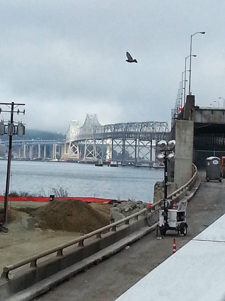
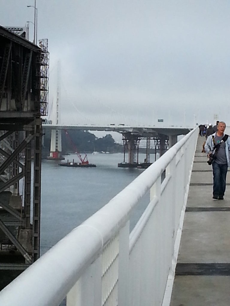
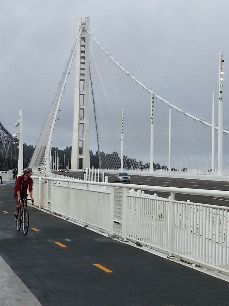
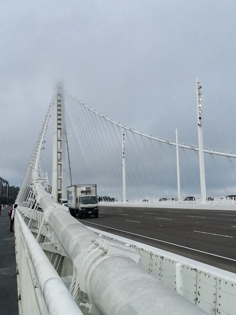
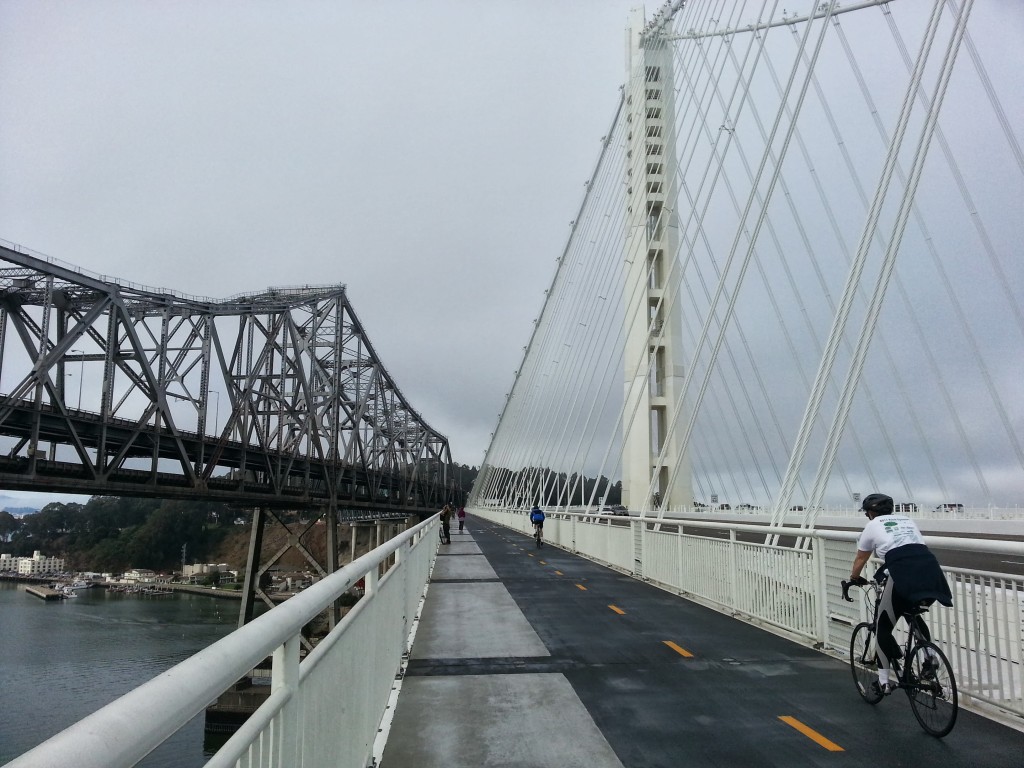
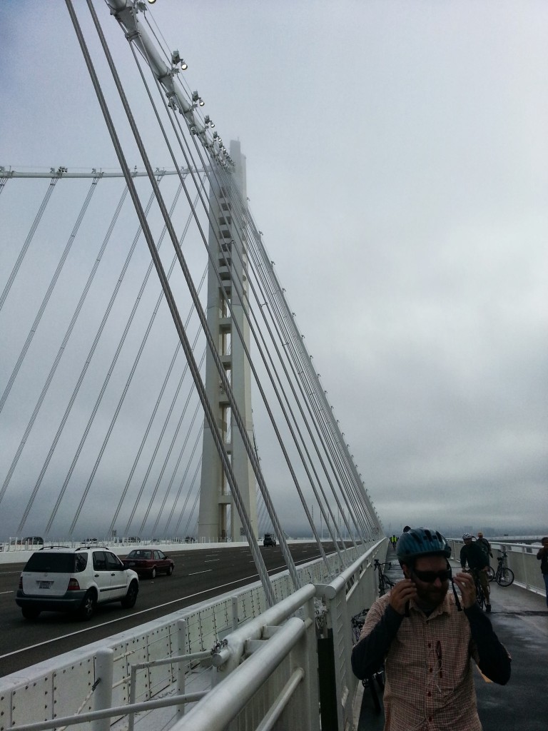
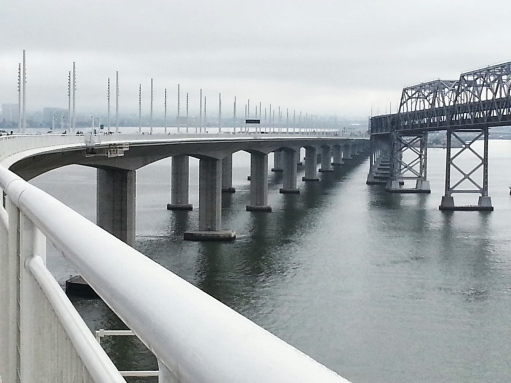
After 24 years of dithering, design and construction, the new San Francisco Oakland Bay Bridge opened for business on September 2nd, 2013. The new bridge includes bicycle and pedestrian lanes. On Sunday, September 8th, my significant other and I roused ourselves from our bed at 7am and went over to walk the bridge.

The walk, from the start of the pedestrian path in Emeryville, opposite the entrance to Ikea, to the end of the bike and pedestrian lanes is 4-1/2 miles, making a 9 mile round trip walk. From the time we left our house at the Northern end of Emeryville, until we got home, including stopping for brunch at Ikea when we were done, the outing took us 4 hours.

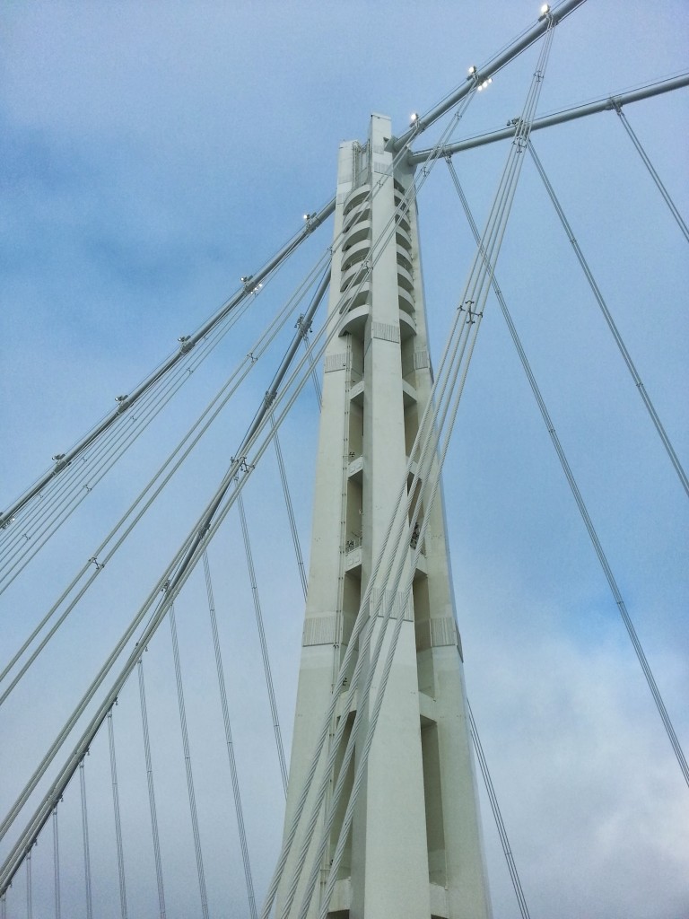
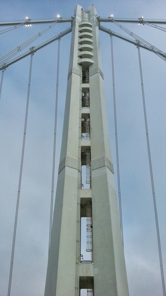
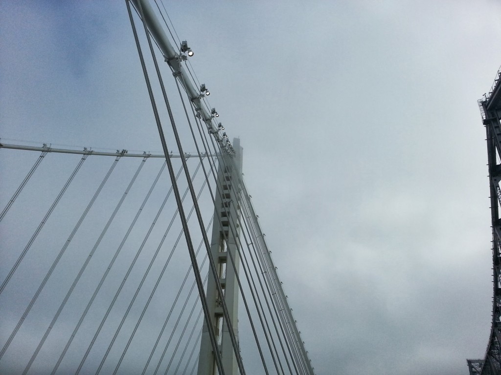
Here are some photographs I took while on the walk.

View looking along the old bridge toward Treasure Island from the base of the bridge.Photo (c) David Locicero 2013


View of the new bridge as it curves toward the island. Photo (c) David Locicero 2013


View of the new support tower as you approach. Photo (c) David Locicero 2013


View looking up one of the the main supporting cables toward the supporting tower. Photo (c) David Locicero 2013


View of the bicycle and pedestrian lanes with the old bridge on the left and the new tower on the right. Photo (c) David Locicero 2013


View of the central tower emerging from the fog. Photo (c) David Locicero 2013


View looking up at the central tower. Photo (c) David Locicero 2013


View of the central support tower and supporting cables. Photo (c) David Locicero 2013


View looking back toward Oakland from the end of the bike and pedestrian lanes. Photo (c) David Locicero 2013


View of the causeway portion of the bridge looking back toward Oakland. Photo (c) David Locicero 2013

If you are going to do the walk, you cannot park at Ikea of Target. Those businesses will tow your car if you leave it there to go do the walk. There is a free parking lot at the corner of Maritime Street and Burma Street in the Oakland Port. Check your Google Maps before you leave for direction. The alternative is to park on the streets on the Eastern side of the railroad tracks in the warehouse district of Emeryville, behind the Rug Depot store. It really doesn’t add that much to your 9 mile walk to park there.

The walk is enjoyable, particularly if you get an early start. The atmosphere is generally festive. The new bridge is beautiful. It will be exciting when the bike and pedestrian lane is finally connected to the Treasure Island. Currently the old bridge is in the way. The bike and pedestrian lanes will not be completed until the Summer of 2015. Can’t wait!


Facebooktwitterredditpinterestlinkedinmailby feather